941
FXUS65 KPSR 291110
AFDPSR

Area Forecast Discussion
National Weather Service Phoenix AZ
410 AM MST Wed Apr 29 2026

.KEY MESSAGES...

- Near normal temperatures through mid week will turn hotter going
  into the weekend with lower desert highs into the nineties as
  early as Friday.

- A weather system for Thursday will bring an increase in rain
  chances with the best area of focus across southeast Arizona.

&&

.SHORT TERM /TODAY THROUGH THURSDAY/...
Mid level water vapor imagery and RAP 40 analysis shows
southwesterly flow aloft over the region, and a closed low well
off the southern coast of California. Plenty of upper level
moisture is being advected into the region from the SW ahead of
the closed low. This upper level moisture will lead to an increase
in cloud coverage throughout today and lingering into much of
Thursday. Today`s afternoon highs will be near normal across the
lower deserts, in the upper 80s to lower 90s. Temperatures on
Thursday will be a degree or two warmer, mostly in the lower 90s
in the lower deserts.

By Thursday afternoon the aforementioned closed low is expected to
be centered over northern Baja Peninsula just to the region`s
southwest. Current model trends continue to track this system just
south of our CWA, across northern Mexico. If these trends hold true,
the system will bring less impacts to our area than previously
expected, which is why current NBM PoPs have been curtailed once
more from the previous forecast. Current PoPs for Thursday
afternoon/evening now show a 5-10% chance in south-central Arizona,
and in the eastern higher terrain PoPs are now a 15-25% chance.

&&

.LONG TERM /FRIDAY THROUGH TUESDAY/...
By Friday, the close low will be exiting to the region`s east, but
negative height anomalies will remain over much of the Desert SW.
Even with negative height anomalies temperatures will begin to warm
as upper level ridging begins to build over the West Coast.
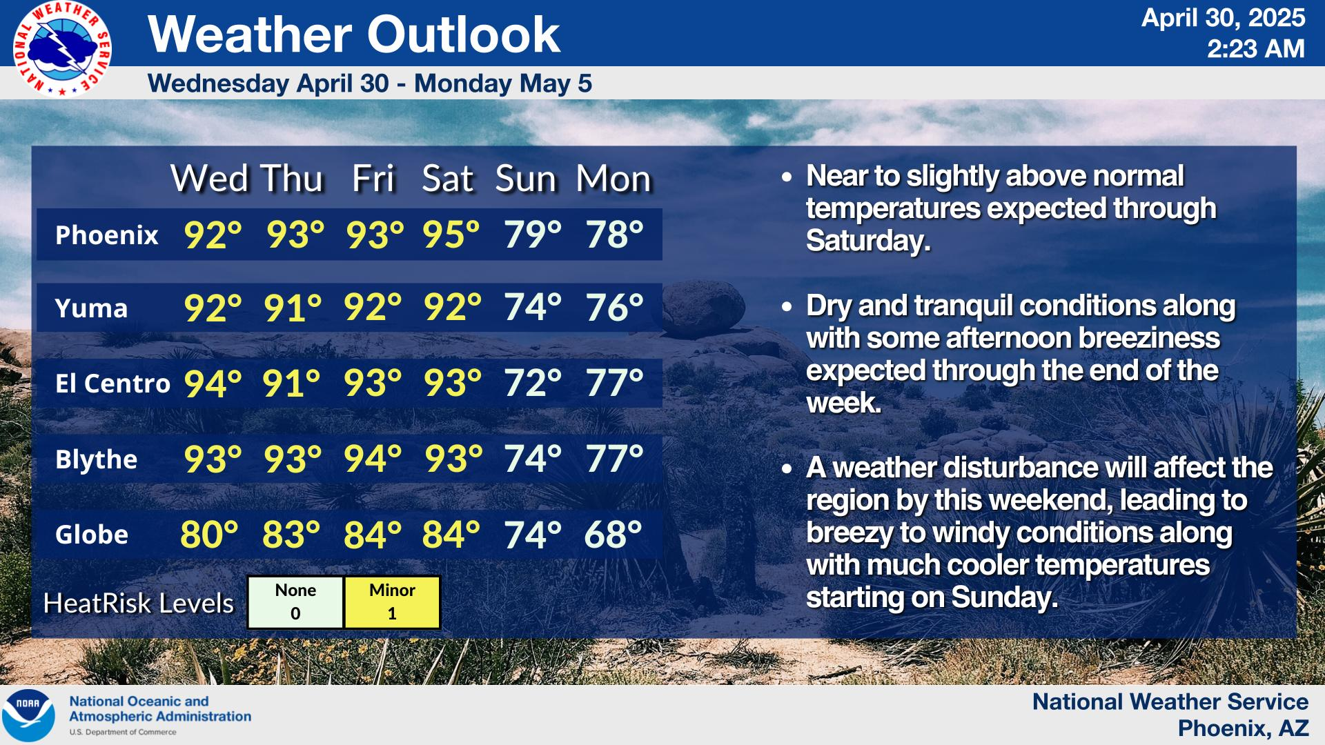
Temperatures in response to the building ridge will warm into the
lower to mid 90s in the western lower deserts and in the lower 90s
across south-central Arizona.

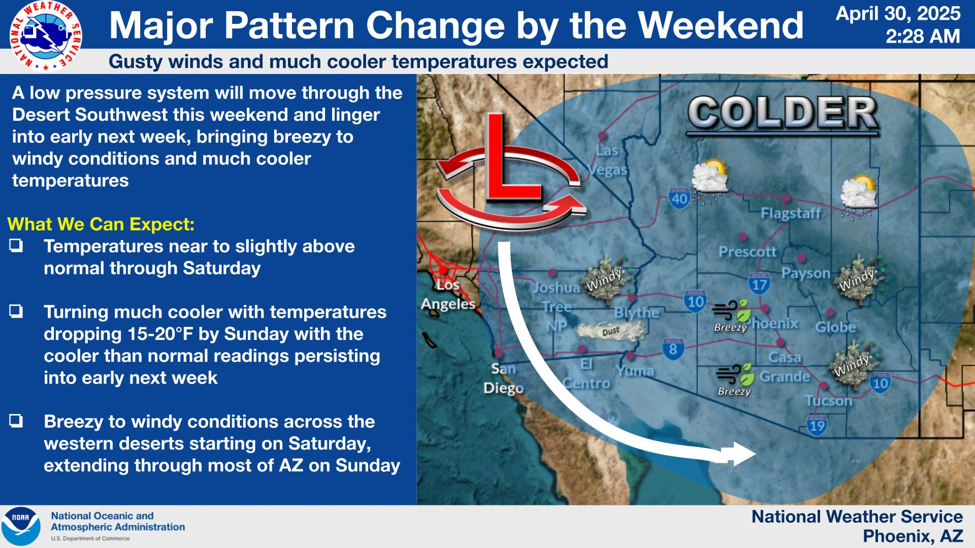
Over the weekend another low pressure system will develop off the
Californian coast, which will help amplify the ridge over the Desert
SW driving temperatures into the mid to upper 90s. Models point
towards this next system moving into our region by early next week
which will most likely return breezy to windy conditions, cooler
temperatures, and possibly some higher terrain rain chances.

&&

.AVIATION...Updated at 1110Z.

South Central Arizona including KPHX, KIWA, KSDL, and KDVT:
No major aviation weather concerns expected throughout the TAF
period. The overall wind pattern will exhibit the typical diurnal
tendncies with speeds aob 10 kts, with some occasional
afternoon/early evening gustiness in the teens. SCT-BKN mid to
high clouds will be common throughout the period.


Southeast California/Southwest Arizona including KIPL and KBLH:
No major aviation concerns are expected throughout the TAF
perionds. At KIPL, westerly winds will become light and variable
later this morning through this afternoon before reverting back to
a westerly direction early this evening. At KBLH, winds will
generally fluctuate out the south to southwest, with a period of
light and variable winds expected later this morning. Overall
speeds will remain aob 12 tks with some gusts approaching 20 kts,
especially at KIPL, early this evening. FEW-SCT high clouds will
be common throughout the period.

&&

.FIRE WEATHER...
Dry conditions along with warming temperatures will be observed
through today. Winds will remain fairly light, following diurnal
trends, with a few afternoon gusts to around 15-20 mph primarily
across southern Gila County. A weather system will bring
increasing rain chances Thursday with the best chances remaining
south and east of Phoenix. However, chances for wetting rainfall
will be low around 10% or less. MinRH values will be around 8-15%
today before increasing to 15-20% on Thursday. Overnight MaxRH
values will generally range between 25-40% through midweek. Gusty
winds are expected to increase this weekend into early next week,
which could lead to elevated fire weather conditions in some
areas.

&&

.PSR WATCHES/WARNINGS/ADVISORIES...
AZ...None.
CA...None.
&&

$$

SHORT TERM...Ryan
LONG TERM...Ryan
AVIATION...Lojero
FIRE WEATHER...Ryan/Smith
NWS Phoenix (PSR) Office
